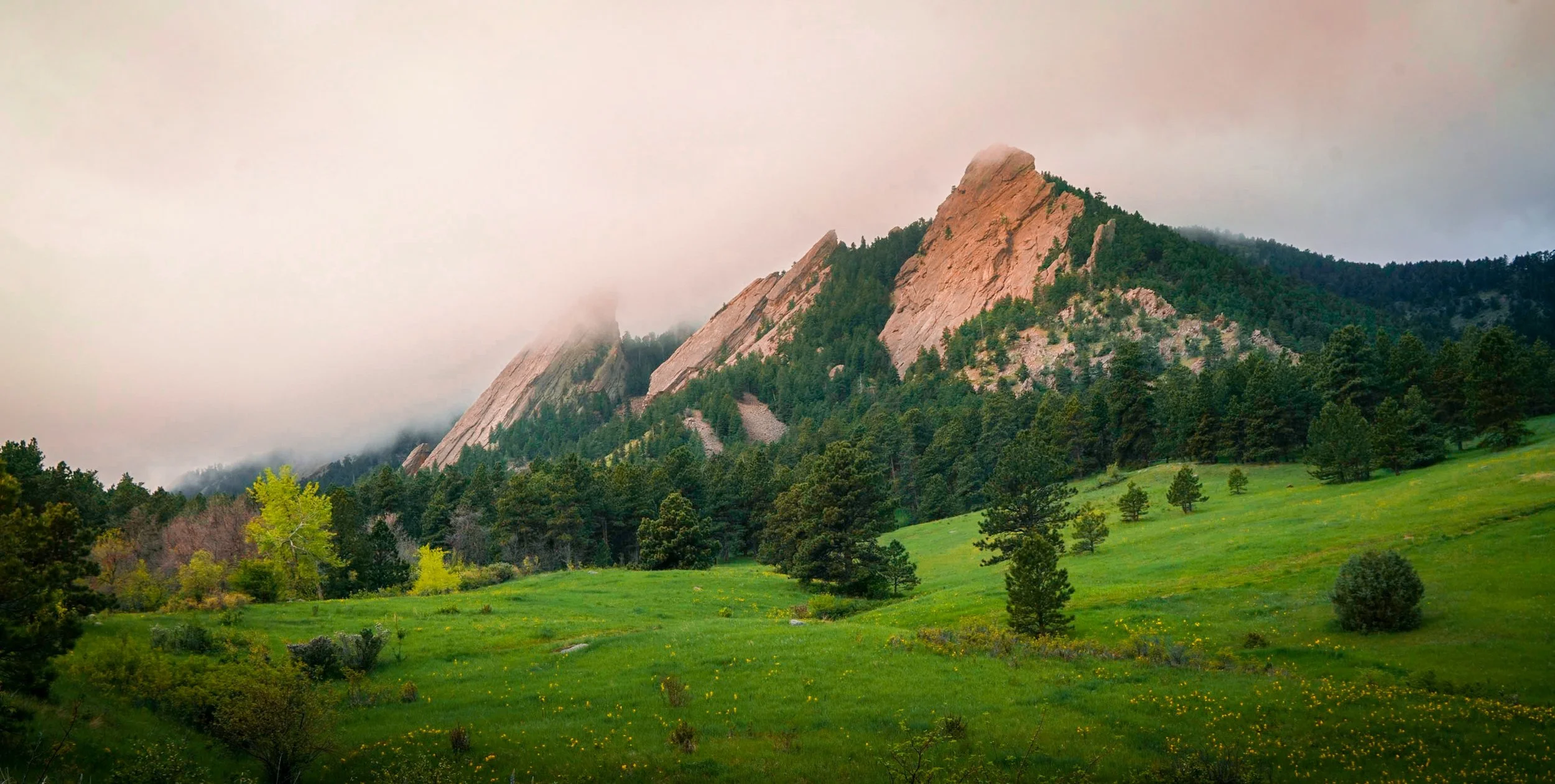
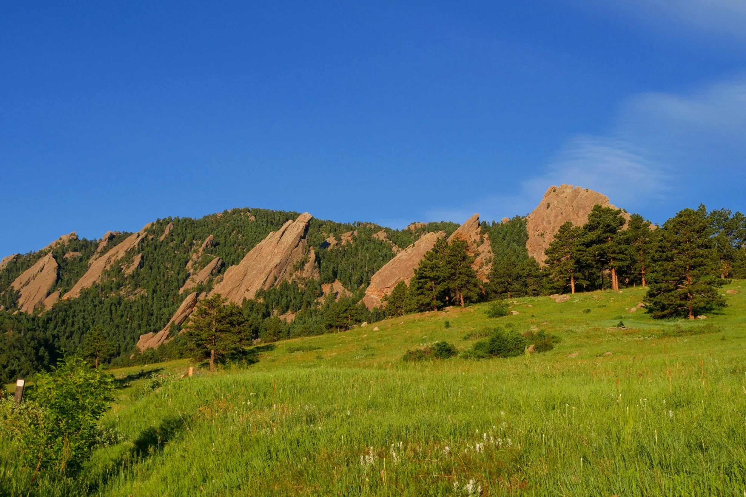
Boulder
Boulder has a high risk of wildfire—higher than 80% of communities in the U.S.
Boulder is located in a semi-arid region of Colorado,
which means it is susceptible to droughts and high temperatures. These conditions can create a tinderbox of dry fuels that are easily ignited by lightning, sparks from equipment, or other sources.
Boulder is located in the foothills of the Rocky Mountains, which are characterized by steep slopes, canyons, and ravines. This topography can create wind channels that increase the intensity and spread of wildfires, and can also make it difficult for firefighters to access and contain fires. As Boulder has grown, more homes and other structures have been built in areas that are prone to wildfires.
These structures can increase the risk of ignition during a wildfire and can also make it more difficult to fight the fire. Boulder is also a classic example of a wildland-urban interface, where natural areas and developed areas meet. This can increase the risk of ignition, as sparks from power lines, campfires, or other sources can easily spread to nearby homes and structures.
These factors make Boulder a high-risk area for wildfires. It’s important for residents and visitors to be aware of the risks and to take steps to protect themselves, their homes, and the surrounding environment in case of a wildfire.
Who are the key stakeholders over Boulder, Colorado’s land?
-
The Boulder County Sheriff’s Office is responsible for wildfire response and evacuation coordination in unincorporated areas of the county, including many of the wildland-urban interface areas.
-
The Boulder Fire Department and Boulder Open Space and Mountain Parks are responsible for wildfire response and management within the city limits and on city-owned lands.
-
The Colorado State Forest Service provides technical assistance to private landowners and homeowners associations on wildfire mitigation measures, such as creating defensible space around homes and reducing hazardous fuels.
-
The U.S. Forest Service manages the Arapaho and Roosevelt National Forests, which include large areas of forested land in Boulder County. The agency is responsible for wildfire response and management on these lands.
-
The Rocky Mountain Area Coordination Center provides coordination and support for wildfire response across multiple agencies and jurisdictions in Colorado and other states in the Rocky Mountain region.
-
combines wildfire hazard assessment, prevention, and suppression expertise, with fire and forest management knowledge using geographic information system (GIS), geographic data management and analysis techniques and technologies. Learn more about how you can get involved here.